Haines Highway to the Yukon
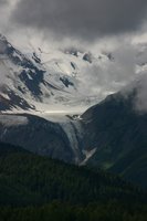
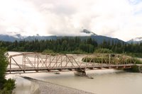
The Haines Highway connects Haines, AK, at the head of Lynn Canal, with Haines Junction in Yukon Territory. This road provides a smooth drive with awesome views of glaciers, coastal forests and alpine tundra. The road winds through the Chilkat River flats, climbs to the Chilkat Pass, and passes through the Chilkat Bald Eagle Preserve. One side trip led us to secluded Mosquito Lake State Recreation Site. It was scenic but not a place where we would want to camp. Our crossing of the Chilkat River allowed us to capture photos of the historic Dalton Bridge. After an easy entry into Yukon Territory, we hiked to a waterfall, picnicked in the Wilderness Provincial Park, and visited a Klukshu Indian village. Their buildings may have been old and in a state of disrepair, but the striking flowers were a rage of color. The Natives were pleasant and proud of their heritage.
The Haines Highway skirts the boundary of Kluane National Park and Reserve. At the Visitors Center we looked through telescopes to view Dall Sheep grazing on the high places. Kathleen Lake is a beautiful body of water that follows along the highway for several miles. We also saw a herd of horses basking in the welcome sunshine. Kluane (Kloo ah nee) is one of four contiguous national and provincial parks that straddle the international border and protect different regions of the St. Elias Mountain s. Together they form the largest international protected area in the world, covering 97,520 square Km.
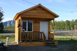
Haines Junction was a welcome site. The ladies in the Visitor Center gave us good information and showed two videos. One was about th e Kluane Park, and the other dealt with protecting oneself from bears in the back country. We purchased supplies in a real grocery and had dinner in our newly constructed, quaint little cabin by the side of the road. It was clean, nicely decorated, charming and romantic.

0 Comments:
Post a Comment
<< Home